
Visual project archive
Habulay Project Photo Gallery
Explore on-the-ground photographs of the Habulay Saline River Basin, pan-dried crystal salt harvests and basin survey maps. Select any image to launch the full-screen viewer.
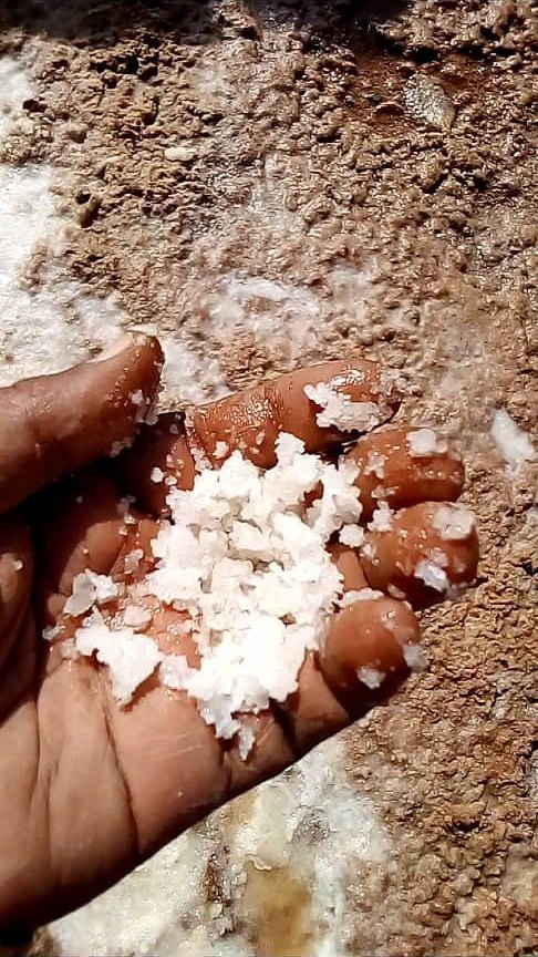 Field Site
🔍 Enlarge
Natural Surface Salt Crust
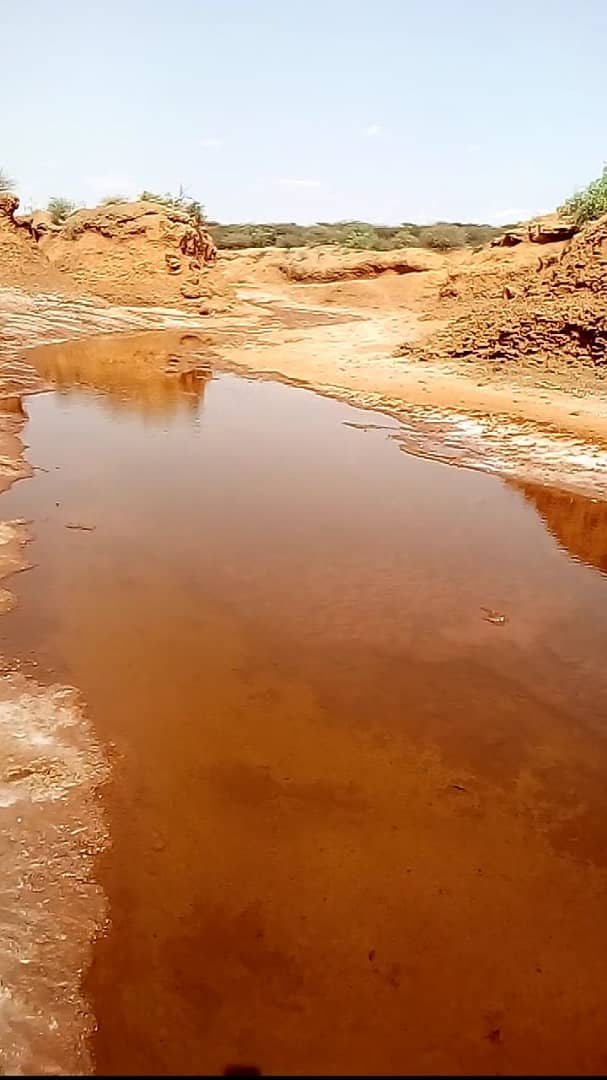 Field Site
🔍 Enlarge
Habulay Hypersaline River Pool
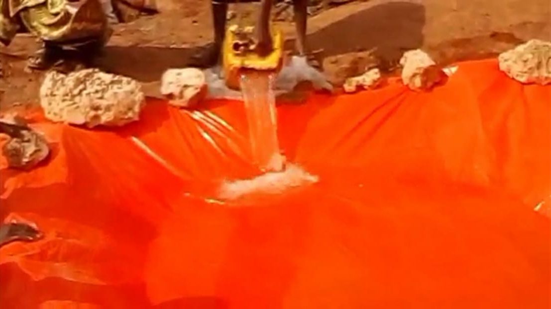 Field Site
🔍 Enlarge
Lined Solar Pond Field Trial
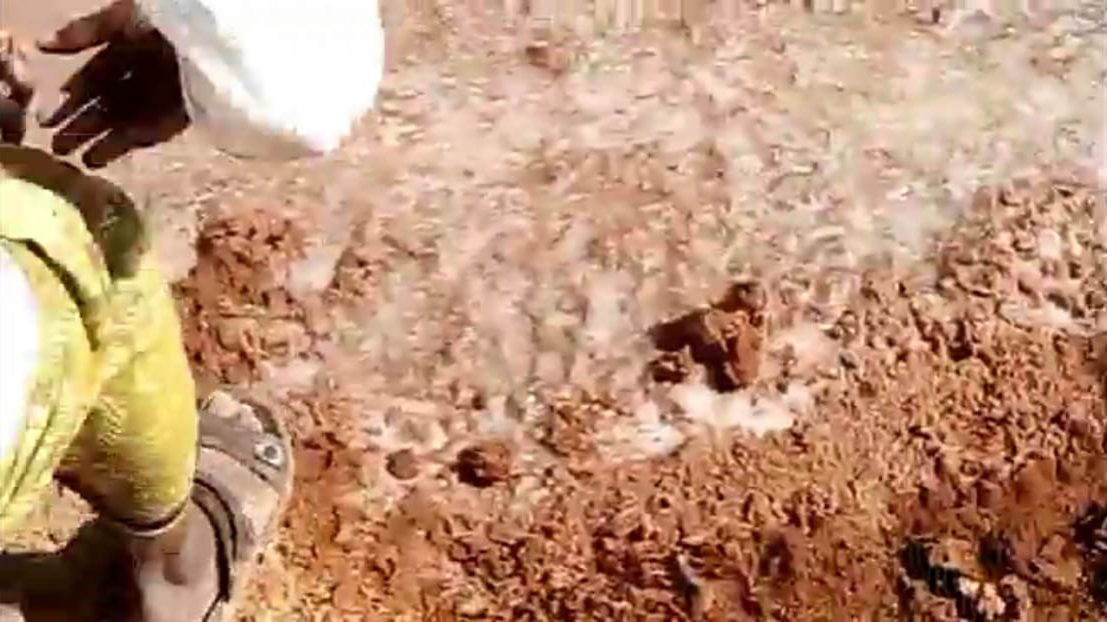 Field Site
🔍 Enlarge
Salt Crust Thickness Inspection
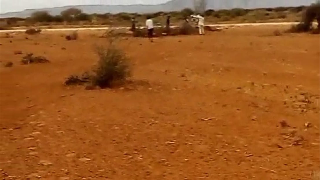 Field Site
🔍 Enlarge
Cooperative Survey Team
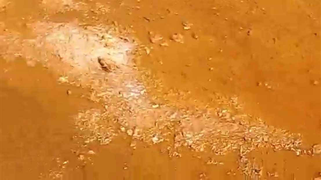 Field Site
🔍 Enlarge
Evaporative Salt Efflorescence
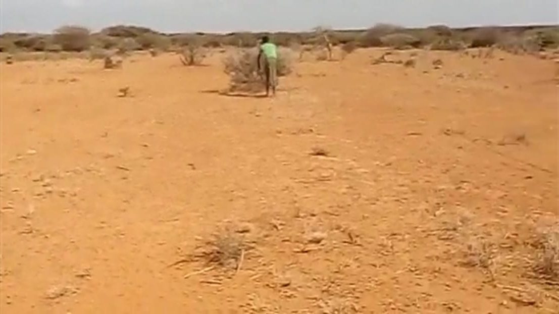 Field Site
🔍 Enlarge
150–200 ha Evaporative Corridor
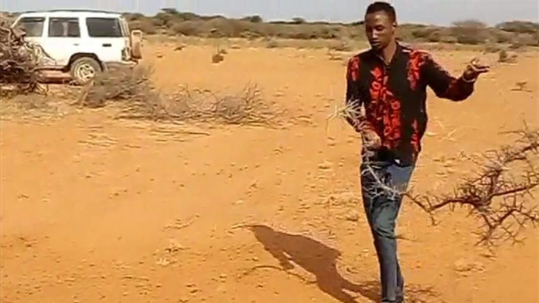 Field Site
🔍 Enlarge
On-Site Resource Assessment
 Crystal Harvest
🔍 Enlarge
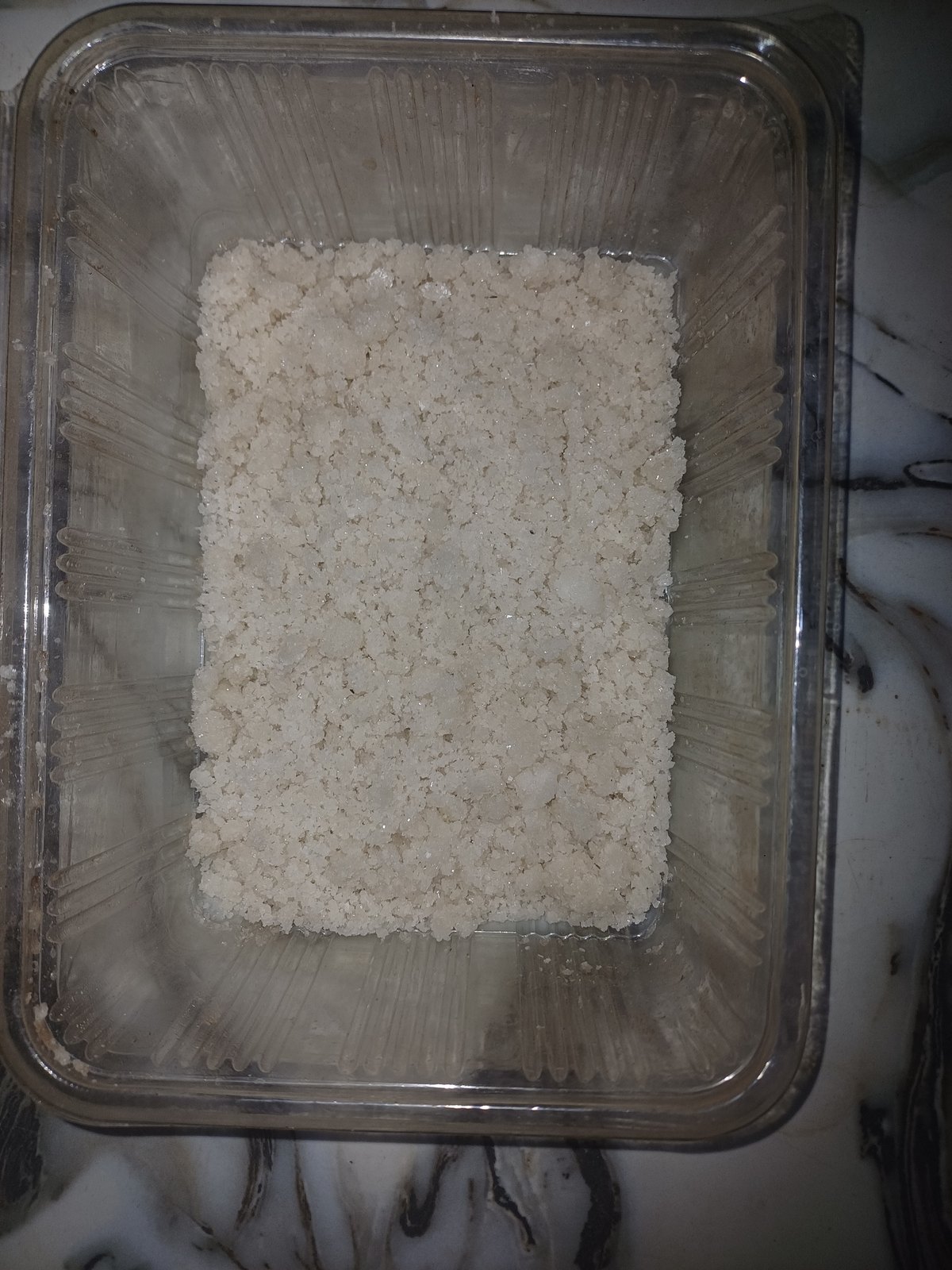
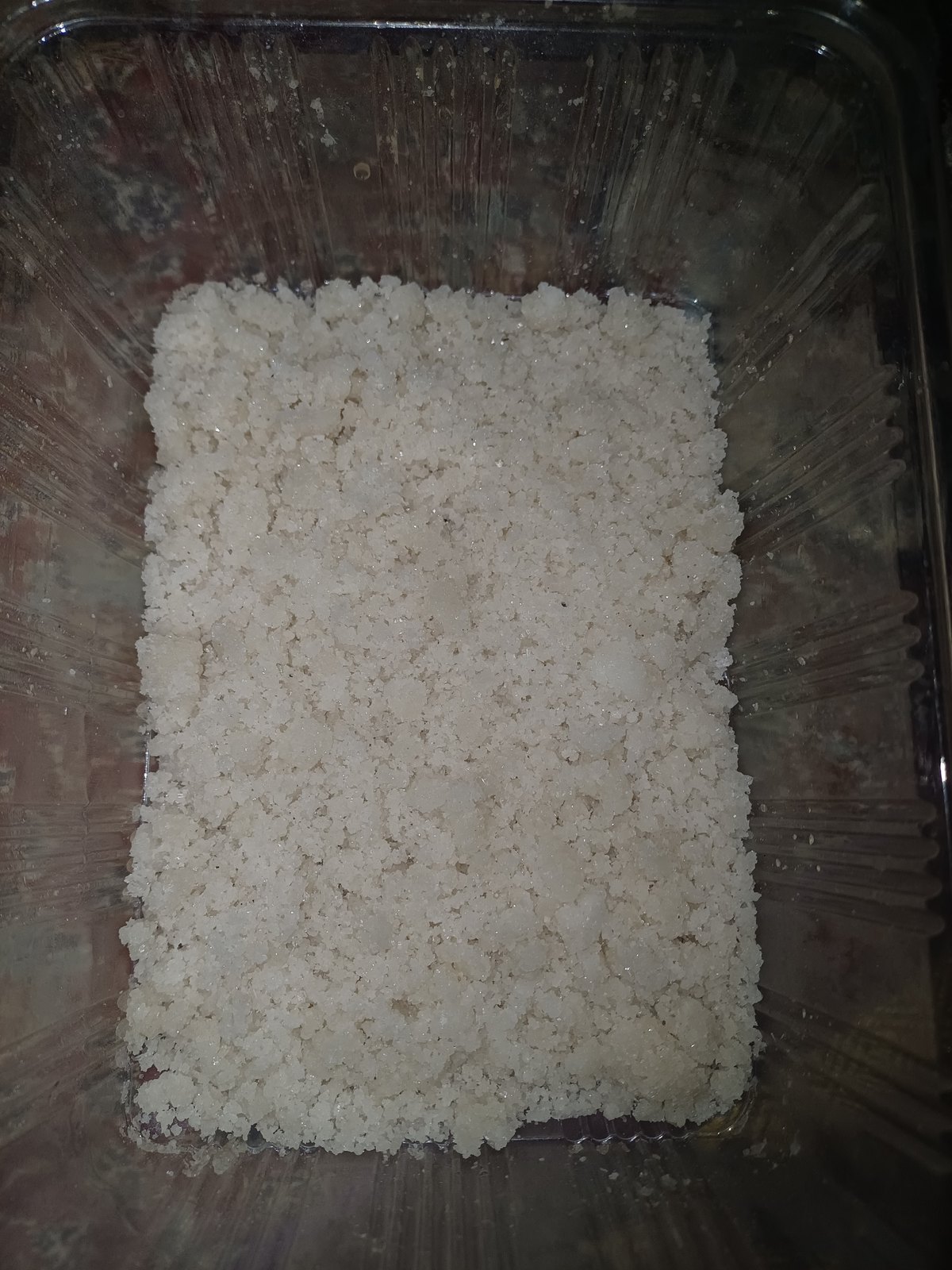
350 g Pan-Dried Salt Harvest
 Crystal Harvest
🔍 Enlarge
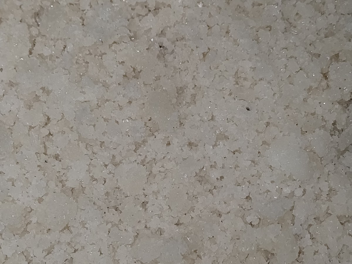
Granular Cubic Halite Crystals
 Crystal Harvest
🔍 Enlarge
Macro Crystal Grain Structure
 Survey Map
🔍 Enlarge
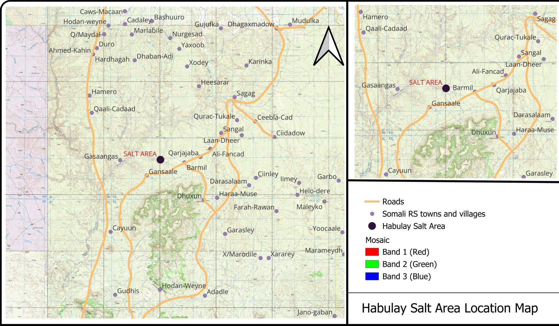
Habulay Salt Area Location Map
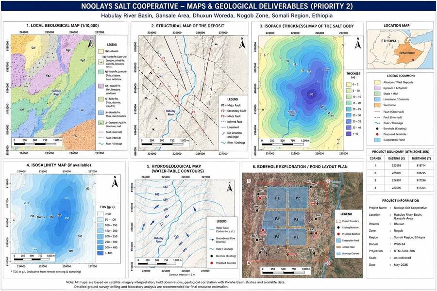 Survey Map
🔍 Enlarge
Remote-Sensing & Salinity Panel
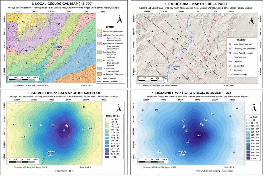 Survey Map
🔍 Enlarge
Geological & Evaporite Panel
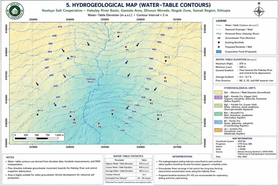 Survey Map
🔍 Enlarge
Hydrogeological & Borehole Map
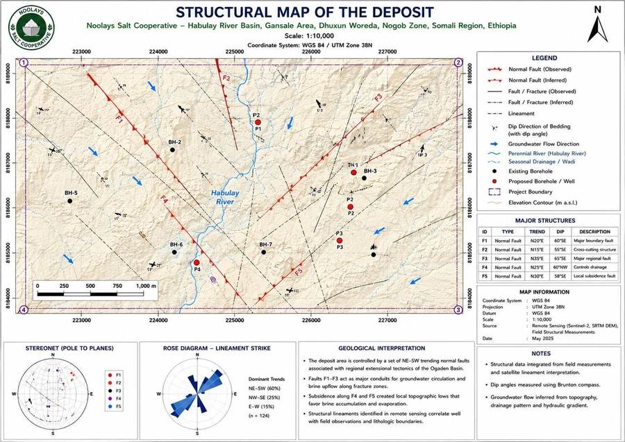 Survey Map
🔍 Enlarge
Basin Structural Map
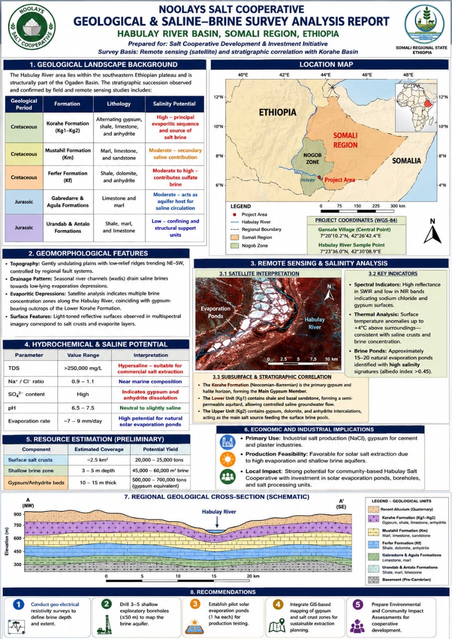 Survey Map
🔍 Enlarge
Habulay Geochemical Survey Poster
Schedule a Habulay Site Visit With Our Team
Prospective investors, equipment suppliers and commercial buyers are welcome to coordinate an on-site visit through our Jigjiga executive office.